
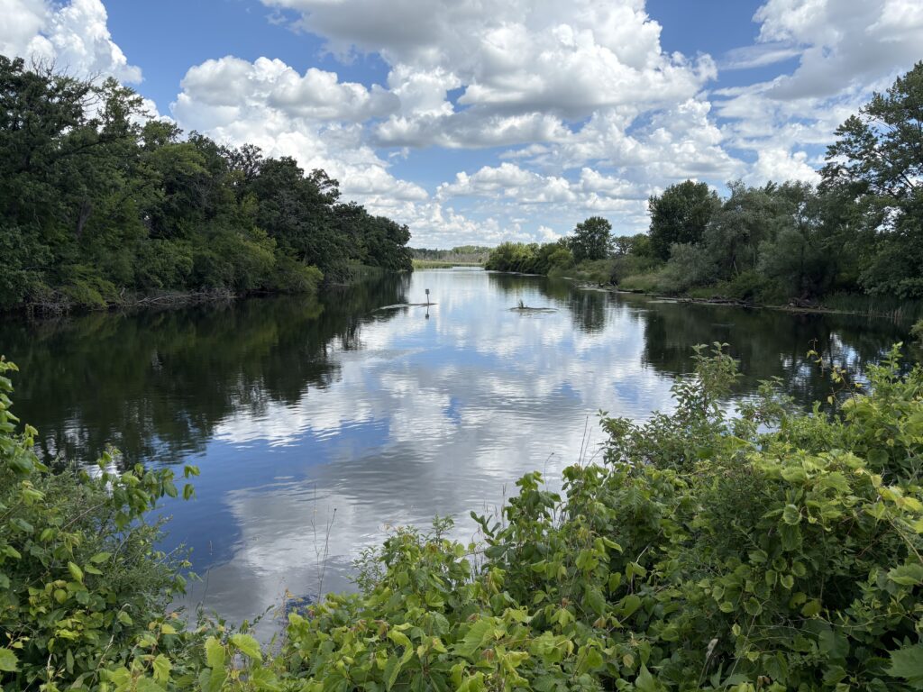
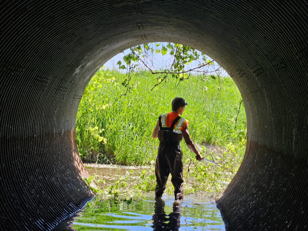
CARPC staff are once again out in the field (and waterways!) collecting data for the Dane County Road-Stream Crossing Inventory. Our team of technicians, Isaac and Ella, are using the Great Lakes Stream Crossing Inventory (GLSCI) Protocol to assess culverts and bridges in townships across Dane County, evaluating each crossing’s condition, ability to withstand flooding and severe weather, and how well it allows fish and other aquatic organisms to move through the stream system.
Data collection for the project—which began in 2024 and is being conducted in partnership with Trout Unlimited—is now entering its final phase, with just five townships left to survey: Dunn, Dunkirk, Fitchburg, Pleasant Springs, and Rutland.
The data collected through the inventory will be compiled into detailed reports for each township, helping local officials prioritize future culvert and bridge improvements, strengthen flood resilience, and identify potential next steps. We will also offer to present our findings to participating townships and remain a resource after the inventory is complete, helping answer questions and connect communities with potential funding opportunities.
We also plan to support Trout Unlimited’s efforts to expand data collection into neighboring counties, with CARPC staff focusing on watersheds that are shared with Dane County. Using data collected through this project, we are developing a list of priority subwatersheds to help guide future work and encourage regional collaboration. After all, flooding and stream health don’t stop at boundary lines, making a watershed-based approach essential for building resilience and improving stream conditions.