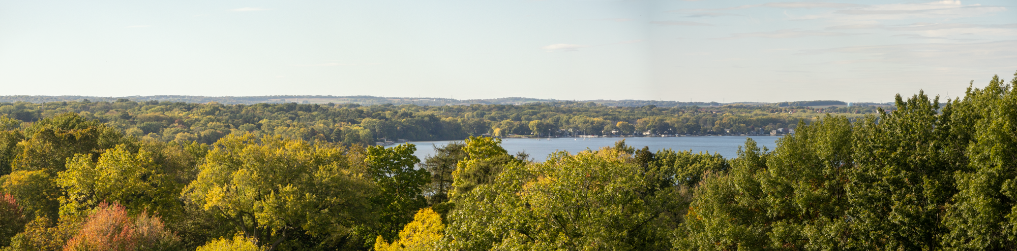


Project Background
Building on last year’s stream crossing inventory pilot project, CARPC is continuing work on the Dane County Road-Stream Crossing Inventory and Assessment project. Funded by a Pre-Disaster Flood Resilience Grant from Wisconsin Emergency Management, this effort will produce comprehensive road–stream crossing inventories for Dane County’s rural townships and support local governments as they pursue structure rehabilitation or reconstruction at flood-prone sites—helping strengthen our region’s flood resilience.
Project information is also available on our Road-Stream Inventory and Assessment website and fact sheet.
Fall 2025 Update
2025 has been a busy year for data collection and outreach. Technicians from both CARPC (covering the eastern portion of the county) and Trout Unlimited (working in the Driftless Area to the west) collected data from May through October. As of fall 2025, data collection is complete for 27 Public Land Survey System (PLSS) townships in Dane County, and the results are available on an online dashboard.
In addition to data collection, we conducted extensive outreach throughout the year. This included presenting to municipalities and the Dane County Towns Association; requesting additional crossing information from each town; filming a news segment with Channel 3000; presenting to our commissioners; and hosting a panel at a recent joint event between our Regional Planning Commission and the Greater Madison MPO focused on cross-jurisdictional collaboration.
2025 Statistics & Takeaways
- Two-thirds of crossings were culverts and one-third were bridges.
- 581 total crossings surveyed (28 from the pilot project & 553 from the expanded project).
- Most culverts were undersized and created some level of barrier, limiting natural water flow or fish passage.
What’s Next
This fall and into early 2026, we will continue developing tailored reports for each township to help prioritize future structure replacements and identify potential funding opportunities. We will also request opportunities to present our findings to local leaders and municipal staff.
In 2026, our goals include completing data collection and producing reports for the six remaining municipalities: the Towns of Pleasant Springs, Dunkirk, Rutland, Dunn, and Springfield, and the City of Fitchburg. With any additional funding, we plan to extend data collection into watersheds that cross into neighboring counties.