If you traveled across northern Wisconsin in the early 1900s, you’d see a very different landscape than today. Most of the forests had been cut, and many of the farms that replaced them were struggling. By the 1920s, some northern counties had so much unproductive land that a quarter of it couldn’t even generate enough income to cover property taxes.
It left the state with big questions: What went wrong? How had past land use decisions shaped this reality? And, most importantly, what could be done to make better decisions in the future?
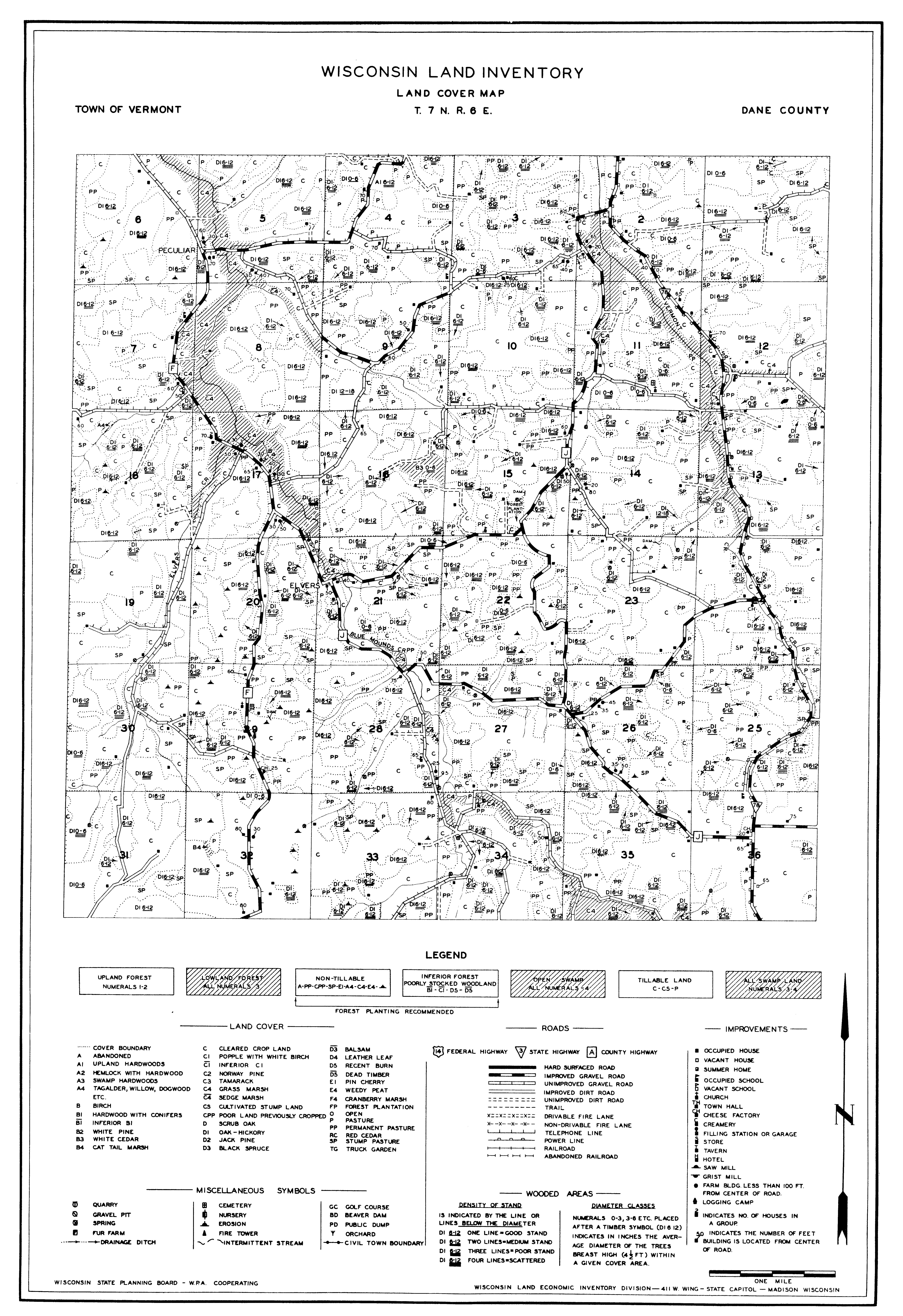
In 1927, the Wisconsin state government and the University of Wisconsin teamed up to find answers. What began as a land inventory of northern Wisconsin grew into the Bordner Survey—a massive, 1930s-era project to map land use across nearly the entire state. Led by Wisconsin farmer and plant physiologist John Bordner, field workers walked the state in half-mile increments, documenting everything from crops and forests to schools, churches, cheese factories, and cemeteries. The result was one of the most comprehensive land cover and economic surveys ever completed.
Decades later, those hand-drawn maps—housed at the Wisconsin Historical Society—were scanned into digital image files by the UW Digital Collections Center. But as images, they could only be viewed, not analyzed. Converting them into GIS (Geographic Information Systems) format would allow researchers and planners to study land use changes over time and better understand how past decisions shaped today’s landscapes.
That’s where CARPC Senior Environmental Resources Planner Matt Noone came in. While managing the UW–Madison Forest Ecosystem and Landscape Ecology Lab, he led an ambitious, multi-year effort to digitize the Bordner maps. The project brought together more than 200 students, who collectively logged over 10,000 hours tracing and coding each feature from more than 1,600 original map sheets—each one taking roughly five hours to complete. Matt was quick to recognize each student’s strengths and built a team that worked tirelessly to see the project through.

When he joined CARPC, he knew this work needed to continue. Collaborating with the Wisconsin State Cartographer’s Office, CARPC helped provide data, documentation, and training to UW–Platteville, where Professor Lynnette Dornak and her students took on the final phase. Over the next three years, they completed the digitization—bringing the project full circle.
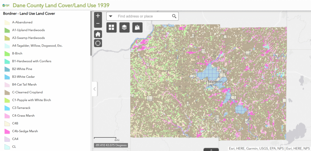
Today, CARPC uses the dataset to support regional planning efforts such as the Old Growth Forest Map and Voluntary Environmental Corridor Map, which help identify conservation and restoration opportunities across Dane County. CARPC also created the Dane County Land Use, 1939 map, using Bordner Survey data to provide a detailed snapshot of the region’s landscape at that time.

It was painstaking work, but it produced a dataset unlike anything else in the nation—over 800,000 mapped features now available on GeoData@Wisconsin.
This data serves many purposes: it helps identify areas suitable for prairie and old-growth forest restoration and offers valuable insights for historians, landowners, and researchers interested in historical land use patterns. Some have even used the data to locate potential areas of soil contamination. Above all, the project’s goal was to make this historic dataset publicly available—ensuring it remains a lasting resource for planners and scientists today, and for generations 100 or 200 years from now. It’s a record that could never truly be replicated in modern times.
For Noone, the project represents both a preservation of Wisconsin’s history and a foundation for its future. The dataset offers an unmatched snapshot of the state at a time of peak land clearing—bridging the gap between pre-European settlement records and modern satellite data—and will continue guiding land management and ecological planning for generations to come.
