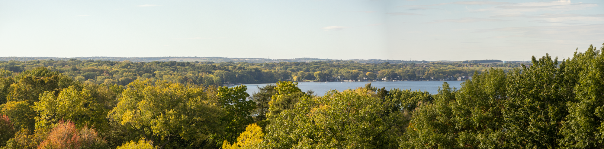
CARPC, in partnership with Capitol Water Trails, the Wisconsin State Trails Council, and the University of Wisconsin-Madison, launched an innovative web map to identify and track obstructions in Wisconsin waterways.

This tool enables kayakers, hikers, bikers, and community members to report blockages with details such as location, size, water flow impact, and a photo. These reports appear on the map and can be updated once cleared, creating an accessible way to manage blockages and enabling communities to respond promptly, supporting healthier, free-flowing waters across the state, improving fish habitats, and supporting natural drainage.
Since 1998, Capitol Water Trails has organized efforts to remove blockages across south-central Wisconsin. For anyone interested, volunteering opportunities are available most weekends, offering a hands-on experience using equipment like chainsaws, waders, and canoes. Watch for future volunteer events to make a difference in Wisconsin’s waterways!